
GEOGRAPHICAL INFORMATION SYSTEM
General Details
This application is developed for
- Presenting detailed spatial information for various entities involved in Irrigation Projects.
- Water Resources – Canal , River , Dam, Water bodies, ground water etc
- Land Resources – Soil and its nutrition factors , Farms ,Land Use, Land cover
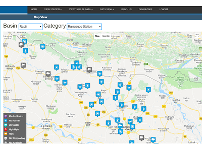
- Hydro Met – Geo-morphology, Weather, Rainfall.
- Others – Bridges , buildings , rail and road network etc
- Swipe and Blend tool for GIS data analysis.
- WUA , Farmer Information Kiosks data presentation through GIS
- Soil Survey, Soil Health
- Water demand and Billing details from MIS to GIS
- Trend analysis for surface, soil, ground water, Water demand, water supply prospects.
- GIS data and Modeling.
- Query Builder model for quick access of spatial data results
- Proximity search model for highlighting entities in specific area
- Atmospheric models for display weather condition
- Crop Pattern model for year wise crop data and predicting water demand
- Supporting Irrigation officers with mapping tools for navigation and editing on GIS data. e.g.
- Control Toolbar for easy navigation on Map
- Edit toolbar for GIS data update
- Book marking various stages in map for future quick references.
Features
- To specify location base (geo-reference)
- To integrate irrigation related information
- To update the dynamic changes occurring in time & space
- comprehensive tool for irrigation management
- To provide user friendly information on real time basis
- Open Source application platform
- Compatible with websites of WRD & CWC
- Integrate with SCADA, INMIS & EMIS
- GIS application provides the information interchange platform for Decision Support System and Information Kiosks for farmers
Applications
- Water Resource Management
- Water Supply Management
- Agriculture
Benefits
- Improved decision making – decisions are made easier because specific and detailed information is presented about one or more locations
- Reduce costs and increase efficiency – especially regarding maintenance schedules, Canal regulation scheduling
- GIS is served as a powerful resource for planning & management
- Farmer can access soil health, RTC data, Water bill, water demand on GIS through Farmers Information Kiosk
- Integration of GIS with existing Hydraulic, INMIS, SCADA Modules
- Real time Hydro-meteorology Data – Weather information, rainfall data are regularly displayed and updated on GIS
- Water Demand & Crop pattern Analysis
Documents